
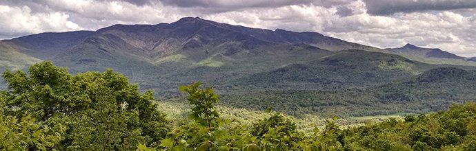
Account for your land resources
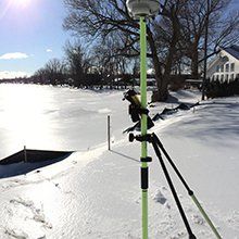
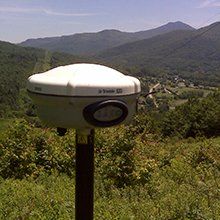
Use a professional topographic survey to take full account of the dimensions, structures and natural features of your land. This is an important tool for planning the design of new buildings, roads and more.
A survey with many uses
- Used for a variety of needs
- Provides a topographic surface of the land
- Ski trail design to site planning
- Existing topographic surface generation as necessary for site development
- Topographic Culvert Replacement Surveys
- Provide Digital Terrain Modeling (DTM) for use by Engineering Companies
Start your project off right
No matter what your next project is, a topographic survey can save you time and money by helping you avoid building on land that has natural features that interfere with the process. In addition to existing topographic surveys, we have the ability to add value-added GIS products such as Floodplain, available LiDar contour data, Deer Wintering Areas, Environmentally Sensitive Areas, Arial Photography and more.
This makes topographical surveying a crucial step in the development of any site, including residential, commercial, recreation, or utility uses.
Get a thorough survey of your project from the professionals at Button Professional Land Surveyors, PC!